ABOUT US
Development of a Support System for Improved Resilience and Sustainable Urban areas to cope with Climate Change and Extreme Events
Development of a Support System for Improved Resilience and Sustainable Urban areas to cope with Climate Change and Extreme Events
HARMONIA will provide a resilience assessment platform to help urban stakeholders understand and quantify Climate Change effects. Based on satellite and auxiliary data, the HARMONIA platform will offer a user-friendly knowledge base, dispensing detailed information on a local neighborhood and street level. This will support local decision making and foster a wide range of applications dedicated to climate adaptation and mitigation, such as Carbon Capture and Storage technologies
Specifically, HARMONIA will focus on two types of Climate Change (CC) effects:
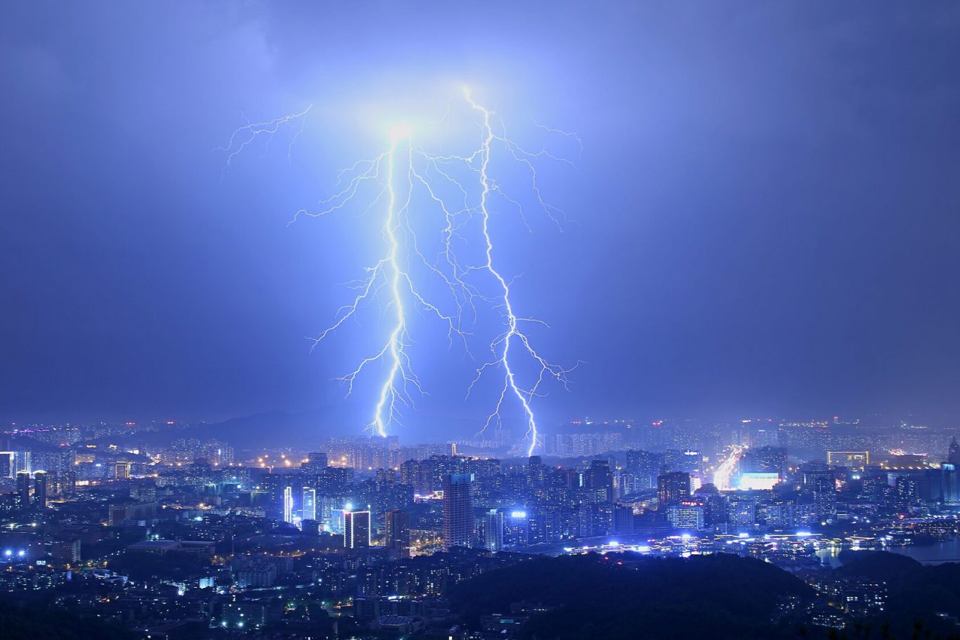
- Natural and manmade hazards intensified by CC, including urban flooding, soil degradation and geohazards (landslides, earthquake, ground deformation)
- Manmade hazards, such as heat islands, urban heat fluxes, air quality, gas emissions.
HARMONIA at a glance
- Start and end date: from 01/06/2021 until 01/02/2025
- Project Team: 22 partners across Europe, including municipalities, NGOs, industry, academia and national research centres.
- EU Horizon 2020 Identifier: H2020-LC-CLA-2018-2019-2020
- Coordinator: The Polytechnic University of Milan (Politecnico di Milano)
- Topic: LC-CLA-19-2020 - Integrated GEOSS climate applications to support adaptation and mitigation measures of the Paris Agreement.

Harmonia brings added value to
Local Autorities
The HARMONIA platform will allow cities to better assess their vulnerability to Climate Change effects and to identify corresponding actions and investments to increase their resilience. This will enhance cities´ preparedness to respond to specific predictions, such as flood or dust storms, and to protect their residents and assets.
Citizens and NGOs
Climate Change hazards not only destroy infrastructure and disrupt economies, but also pose a serious health challenge to citizens. HARMONIA is designed to provide key information for local measures aiming to improve urban greenness, air quality, mobility and many other important aspects of our quality of life.
Industry and Academia
HARMONIA is a research project that will integrate existing tools, services and technologies to deliver its unique Integrated Resilience Assessment Platform (IRAP). The integration of different data sources at the local level, including demographic and environmental data, will stimulate knowledge spillovers and technological improvements, notably in computer vision and machine learning.
What HARMONIA contributes to
Paris Agreement
Climate adaptation and mitigation
The Paris Agreement is the leading climate agreement on the international stage, mustering over 196 signatory countries worldwide. It coordinates efforts to limit global warming to well below 2, preferably to 1.5 degrees Celsius, compared to pre-industrial levels. The HARMONIA platform will actively support the Paris Agreement by acting as an information generator and repository for decision makers.
Find out more
Sendai Framework
Disaster resilience
The Sendai Framework sets a roadmap until 2030 to reduce the risk of, and losses incurred by, natural disasters. It works in hand with the UN 2030 Agenda, outlining seven priorities and four areas of action to ensure a safer, more sustainable future. The HARMONIA platform will help assess the risk of natural disasters and therefore actively support the implementation of Sendai.
Find out more
Sustainable Urban Development Goals (SDGs)
Sustainable development
The 17 Sustainable Urban Development Goals lay out a path to achieve a better and more sustainable world by 2030. These goals aim to address a series of global challenges, ranging from poverty and inequality to environmental degradation and justice. HARMONIA will help advance the SDGs by, for example, reducing the effects of Climate Change, particularly on the urban poor who work and live in settlements more exposed to such hazards.
Find out more
GEO and Societal Benefit Areas
Health and wellbeing
The Group on Earth Observation (GEO) is a partnership of more than 100 governments with the mission to promote the use of Earth Observation in decisions and actions taken for the benefit of humankind. In line with this mandate, GEO is helping build a Global Earth Observation System of Systems (GEOSS) to inform decision making in nine Societal Benefit Areas (SBAs), including public health, food security and sustainable agriculture. The HARMONIA platform will contribute to the SBAs by helping assess urban footprints and empowering measures to promote equity, welfare and shared prosperity.
Find out more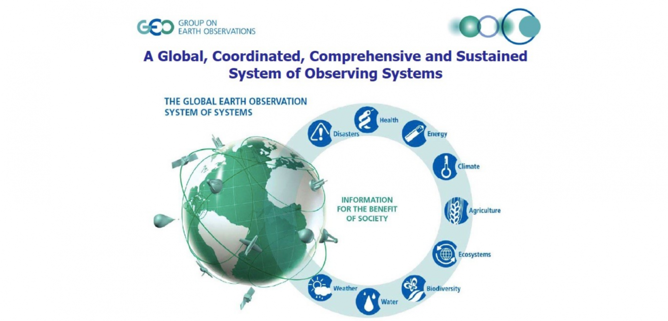
Global Climate Observing System
Science and research
The Global Climate Observing System regularly assesses global climate observations and produces guidance for its improvement, including by developing Essential Climate Variables (ECV). ECVs are the observations required to systematically observe Earth's changing climate. The HARMONIA platform will help develop Essential Climate Variables by testing and validating 20 climate indicators from the catalogue of the GCOS. It will also support other initiatives and better climate applications with easy to use forecasting tools and localised modeling on the effects of Climate Change.
Find out more
E-SHAPE
Industry initiative
A flagship project building on GEOSS and Copernicus, E-shape will promote the development and uptake of 27 cloud-based pilot applications. It exemplifies the value Earth Observation offers to European industry across 7 sectors or “showcases”. The open source software developed under HARMONIA will be available to the e-shape pilots and industry. The datasets and infrastructure will be specifically useful to pilots dedicated to disaster management and Geo-hazard assessment, as well as broader commercial undertakings related to climate adaptation and mitigation.
Find out more
How HARMONIA will do it
HARMONIA leverages a wealth of existing Earth Observation (EO) Datasets and services ‒ including GEOSS, Copernicus and ESA data and services. This will be capitalised with ensemble modelling of socio-economic and in-situ data to deliver an Integrated Resilience Assessment Platform (IRAP).
IRAP is a system that allows stakeholders to model a range of planning options against a number of CC scenarios. IRAP will address multi-hazard risk factors and streamline the process of preparing for, and responding to, Climate Change-related hazards. It will act as a decision support tool for cities and urban stakeholders, tailored to the needs of citizens in the domains of health, prosperity, security and wellbeing.